

In the woods of DownEast Maine, the Garmin went dark and cell phone service vacillated between spotty and nonexistent. We’d used the GPS on previous trips to Quebec and the Thousand Islands, so it never occurred to either of us that we wouldn’t have it this time. Travel Tip: Never take your technical tools for granted. Without the aid of a satellite, we were forced—God help us!—to rely on an actual paper map. Good thing that Hubby and I, throwbacks that we are, know how to read them and, in fact, actually value them. A “real” map allows you to see not only the expanse of your journey, but also unconsidered possibilities.
We crossed from Maine into St. Stephen, New Brunswick at Calais. Once in Canada, we were following the coast on a well-marked highway. Who needs GPS for that? Cell phone service became more reliable in Canada, and from that point forward, we could use the phone for navigation if we needed it.
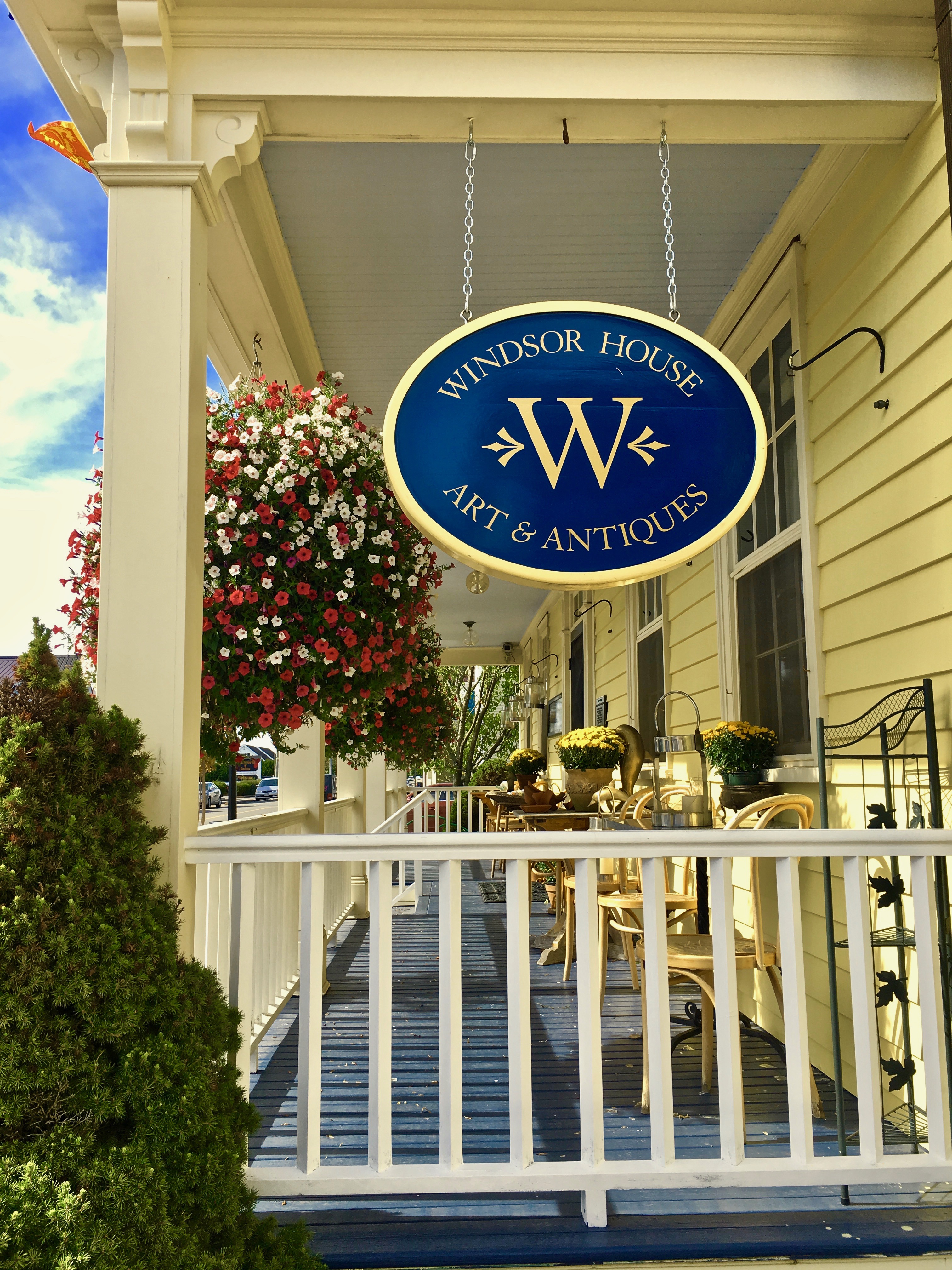
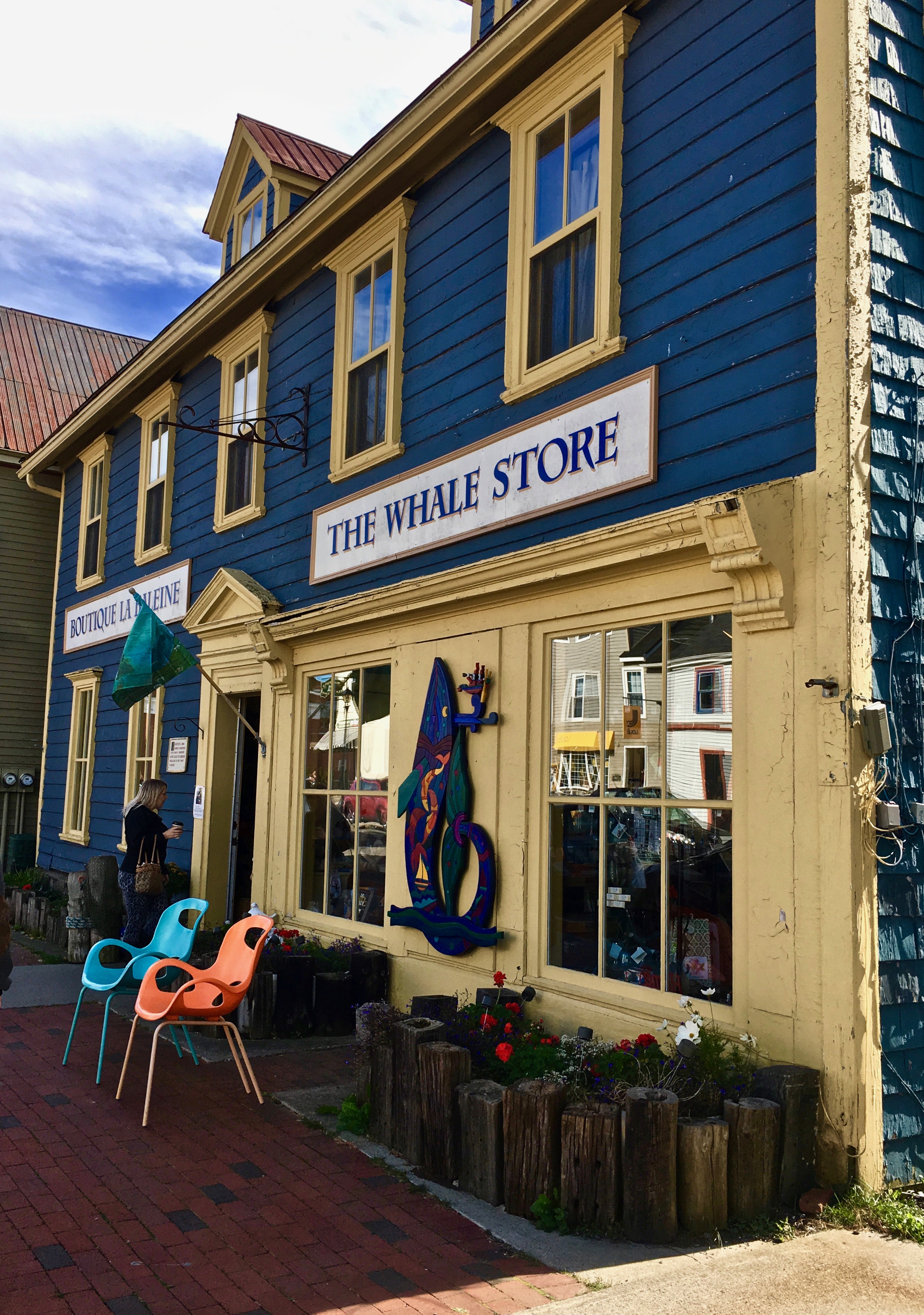
Our first stop was St. Andrews by-the-Sea. Glad to be out of the car and on foot, we explored the local grocery store (one of my fixations in other countries), then took a leisurely walk up and down Water Street. Hubby’s only purchase goal for this trip was a traditional Irish fishermen’s cap, which he found at Kit & Kaboodle. He bought two and has been sporting them ever since.

A quick stop but a delightful one—our first taste of Atlantic Canada. Next: St. John, NB, where we spent our first night in the Maritimes. Stay tuned!
Cover photo: It was exceptionally bright that afternoon. I wanted a great shot of the Kit & Kaboodle store window but couldn’t get rid of the reflection no matter where I stood. But I’ll take sunshine over a perfect shot any day.

Bobbie
I use Google Maps because it’s convenient, but I far prefer real maps. I’m enjoying your trip.
LikeLiked by 1 person
Angela
Thank you!
LikeLike
Mary Hart
Is the wool shop still in St. Andrews? ( I’m going back almost 60 years with that one!). The skeins of wool were exhibited outside and even though I can never complete a knitting project – my eyes just give out – it was most inviting. Now, you MUST schedule Newfoundland as your next jaunt. It’s a fabulous spot – complete with puffin land, UNESCO histotoric spot in NWNEwfoundland and the land of ” “Shipping News! “
LikeLiked by 1 person
Angela
Mary, I daydream about Newfoundland all the time. There were yarn shops everywhere along the way—PEI has a yarn trail, and I did succumb.
LikeLike
John Davison
Many moons ago I bought an antique hall tree near St. Andrews for $50. Came back thru Maine on the way to CT, and about 30 miles over the border, with the item tied to the roof of my car, I was offered $50 for it. I considered for a while if there was a business to be had here, buying antiques in CA and selling them in USA.
LikeLiked by 1 person
Angela
Thanks for sharing, John!
LikeLike
Sheryl
I generally use GPS systems, but there’s something to be said for “real” maps. They help we get a better big picture sense of where I am and where I’m trying to go.
LikeLiked by 1 person
Angela
Exactly!
LikeLike
Ron
Hi Angela, I like reflections in some images as it creates a bit of mystery. What a lovely road trip you guys had. Prior to retiring, I traveled in Quebec where cell coverage was non-existent and GPS was blank as you said. As long as you stayed on the main St. Lawrence highway you were fine, but best have a map if you left Hwy 138. We never made it to the Maritimes or PEI, but wish we had. Thanks for sharing.
LikeLiked by 1 person
Angela
Thank you for the lovely comment. Next “leg” is Halifax, then PEI. It was a dream trip!
LikeLike